OUTPOSTWEQUETEQUOCK COVE WEATHER

Wave Simulator and Tides

Wequetequock Cove · Watch Hill · Block Island Sound

Local time
Eastern time · auto-refresh 5 min

waves between Watch Hill and Block Island

NWS marine forecast
Wave visualization
NWS forecast · Watch Hill to Block Island ft seas s period
Now
now+12h+24h
Cached / delayed forecastSimulated surface & boat · 1974 Whaler 13 · ISLA MAR; illustrative response, not a vessel stability prediction
Forecast location & simulation details

NWS BOX 59,48 · 41.27° N, 71.69° W · Watch Hill to Block Island. ISLA MAR is an illustrative 1974 Boston Whaler 13 with a 35 hp Evinrude. Motion follows the forecast wave spectrum at rest; it does not predict actual boat handling or stability.

Cove-area gusts kt ·
Watch Hill passage / NWS ft at s
Offshore swell / model ft ·
New London tide / MLLW ft predicted

New London tide reference

Tide feed delayed / unavailable
Tide prediction unavailable

Feet above MLLW. Tide predictions exclude weather-driven surge and are not water depth or measured water level inside Wequetequock Cove.

the next 24 hours

Offshore model · 41.28° N, 71.80° W

Wave forecast unavailable

Wequetequock Cove · boats

Boat conditions unverified

Approach & mooring watch · next 24h

Unverified: wave / swell forecast, wind forecast, NWS marine alerts. Status is incomplete.

ftPeak open-water seas
ftPeak swell component
ktPeak cove-area gusts

Offshore swell is an exposure signal, not a wave-height prediction inside the sheltered cove. Check the entrance, dock lines and fenders locally; wakes and shallow-water effects are not modeled here.

Warning thresholds & coverage

Dashboard watch: swell ≥ 2 ft, seas ≥ 3 ft, seas ≥ 2 ft with period ≤ 5 s, or local gusts ≥ 20 kt. Elevated warning: swell ≥ 3 ft, seas ≥ 5 ft, or gusts ≥ 25 kt.

These are conservative dashboard thresholds, separate from official NWS issuance criteria. Swell and seas use the offshore model near 41.28° N, 71.80° W; wind uses the home grid near the cove. NWS alerts cover eastern Long Island Sound (ANZ332) and Block Island Sound (ANZ237). A low reading is not a declaration that boating is safe. Individual waves can exceed significant wave height.

NWS guide to waves and small-craft conditions

weather over tidal water

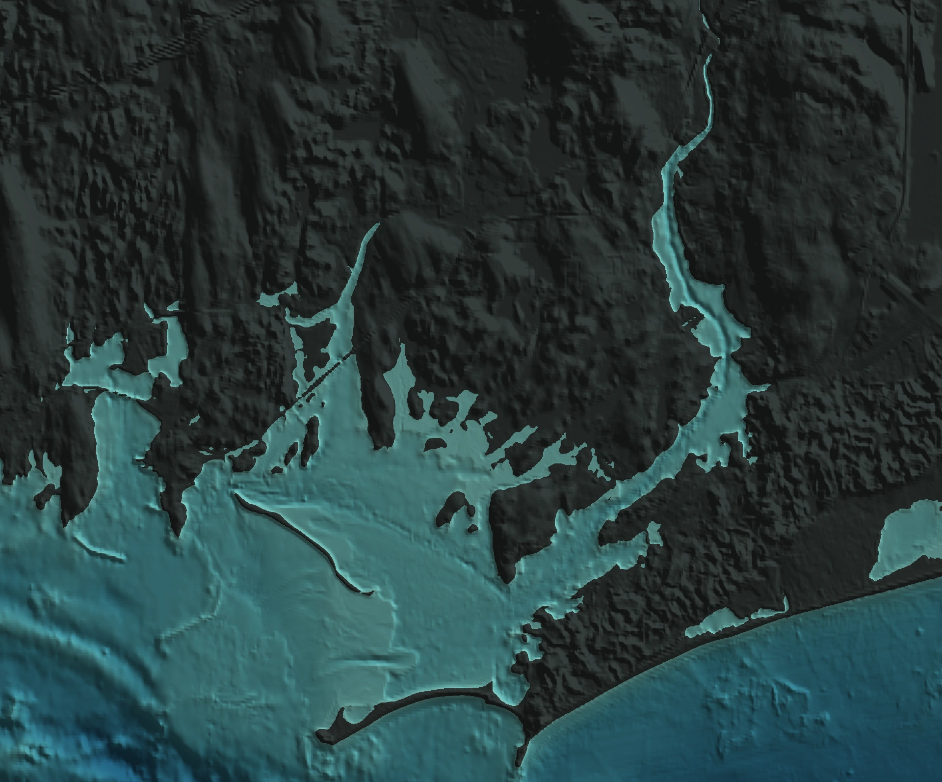
OUTPOST geography · NOAA relief · USGS shoreline

Wequetequock Cove

Sandy Point / Watch Hill
Detailed shoreline
NOAA coastal reliefRadar unavailable

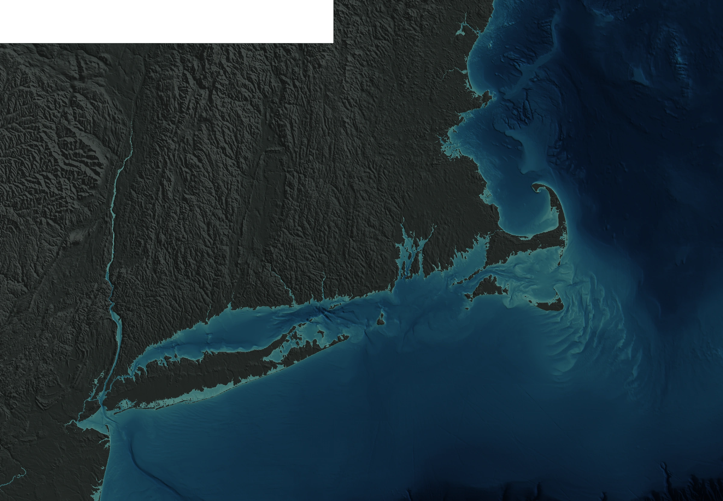
southern New England

Regional context
NOAA coastal reliefRadar unavailable
Frame unavailable
Past 2h · same requested time in both views · each map labels its loaded frameClose-up radar is interpolated for display; native cells remain available.